GeoSence has published its first report, Current state of the art and use case description on geofencing for traffic management.
 This report is a result of a literature review focused on geofencing use cases specific to road traffic management. It presents trialled and already- or soon-to-be-implemented geofencing use cases, as well as conceptual and potential future use cases; it shows for which type of transport they are used and how geofencing is or should be applied.
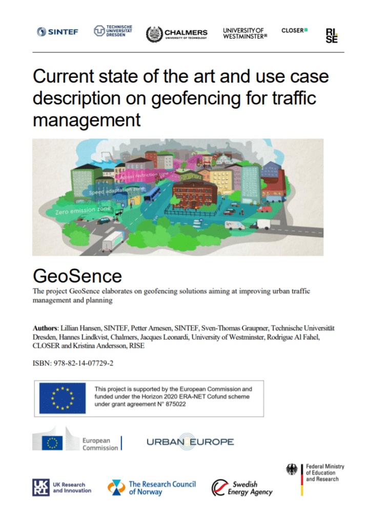
The goal of the report is to present the current state of geofencing; the report also describes use cases based on the working definition of geofencing within the project, where it is defined:
“a virtual geographically located boundary, statically or dynamically defined”
The study shows that, for implemented and real-traffic trial cases, geofencing has been applied within private car transport, shared micromobility, freight and logistics, public bus transportation and ride-sourcing. For the future, geofencing has been also tested and conceptually developed for AVs and shared automated mobility, among others.
Geofencing results, coming in hot
The report summarises main use cases and finds them to answer to, especially, four challenges in traffic management:
- Safety
- Environment
- Efficiency
- Tracking and data collection.
Furthermore, the system and functionality of the trialled and/or implemented use cases show different types of regulation geofencing use cases can be used for, from informing, assisting, full enforcement, incentivising and penalisation.
The report shows that joint guidelines and recommendations coming so far from national authorities are few – with some exceptions. Furthermore, it highlights that the digital representation of traffic regulation will be crucial for enabling geofencing in the future.
Who wrote it?
The report was conducted in the project GeoSence – Geofencing strategies for implementation in urban traffic management and planning. It is a joint programme initiative (JPI) Urban Europe project funded by European Union’s Horizon 2020 under ERA-NET Cofund Urban Accessibility and Connectivity. It gathers partners from Germany, Norway, Sweden and the UK, such as RISE Research Institutes of Sweden AB and SINTEF Community avd Trondheim, as well as the cities of Munich, Gothenburg and Stockholm – and many more!